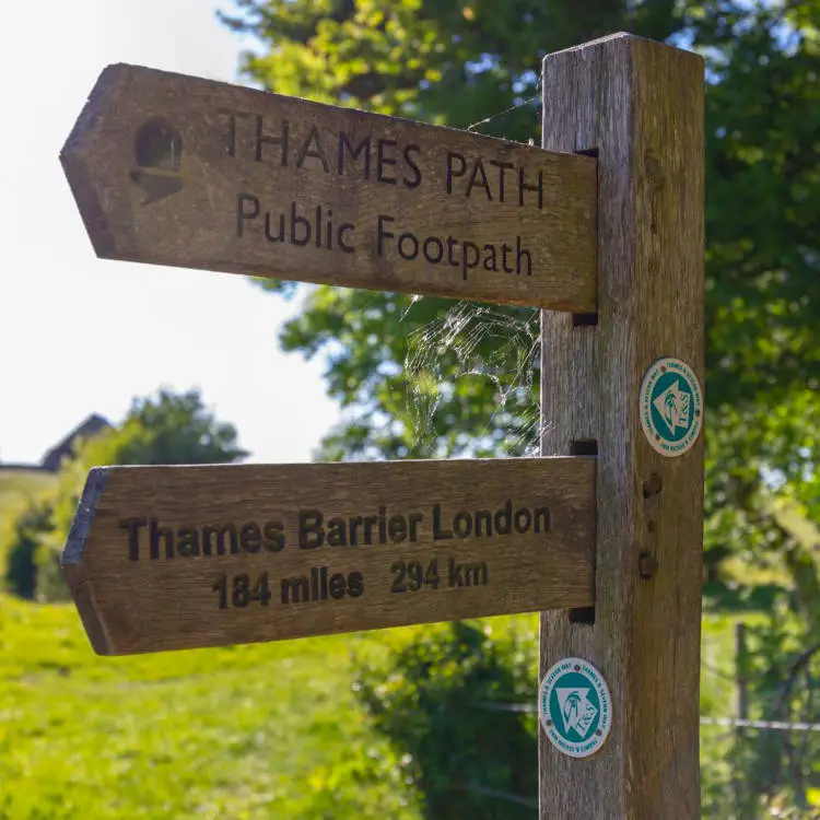
Planning to walk the Thames Path in stages? Below you’ll find links to detailed guides for each section of the National Trail, from the river’s source near Kemble to the Thames Barrier in London. Each guide includes route details, maps, points of interest, amenities and a 7 day weather forecast to help you plan your walk with ease. Select a section below to get started.
The Source to Cricklade (12 Miles)
The first section of the Thames Path begins at the official source of the River Thames near Kemble and follows the early course of the river through rural Gloucestershire into Wiltshire. Expect peaceful countryside, quiet villages and areas of ecological interest. While the river is often dry near the start (especially in Summer months), the route offers an enjoyable and varied walk.
Cricklade to Lechlade – (11 Miles)
The Thames Path from Cricklade to Lechlade is a peaceful and scenic stretch that gently guides you through meadows, quiet lanes, nature reserves and small Cotswold villages. As the River Thames gradually widens, the walk offers a mix of open countryside and riverside views, along with plenty of wildlife.
Lechlade to Newbridge – (16.4 Miles)
The long section from Lechlade to Newbridge follows a rural stretch of the river, where navigation becomes more common and the waterway begins to feel much broader. It’s ideal for experienced walkers seeking quiet, flat terrain through beautiful countryside with occasional glimpses of river life.
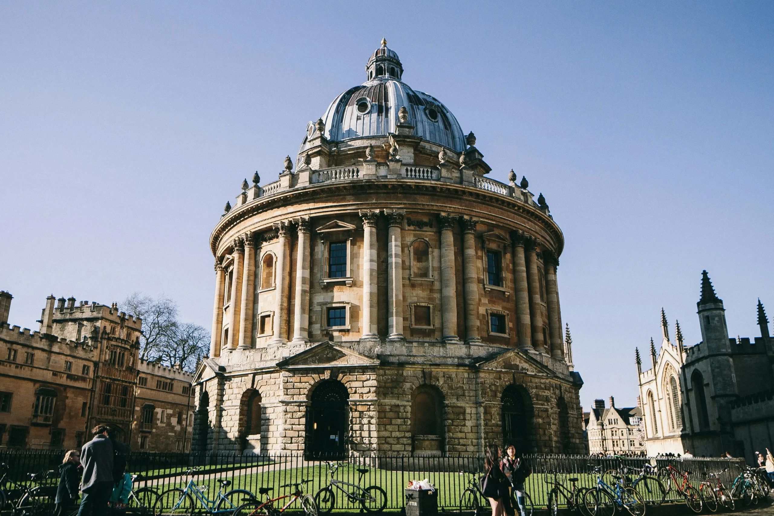
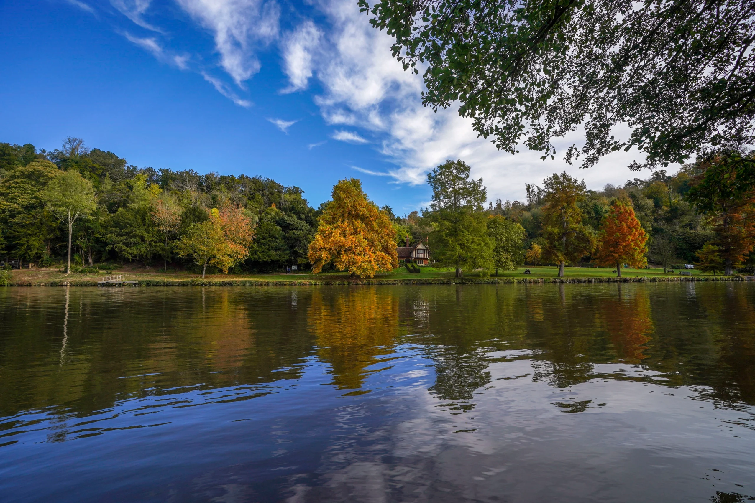
Newbridge to Oxford – (14 Miles)
The Thames Path between Newbridge and Oxford combines peaceful riverside walking with an increasingly urban feel as you near one of England’s most historic cities. This stretch features long open meadows, weirs and locks alongside occasional glimpses of local wildlife. The section finishes with a rewarding sight of the spires and colleges of Oxford.
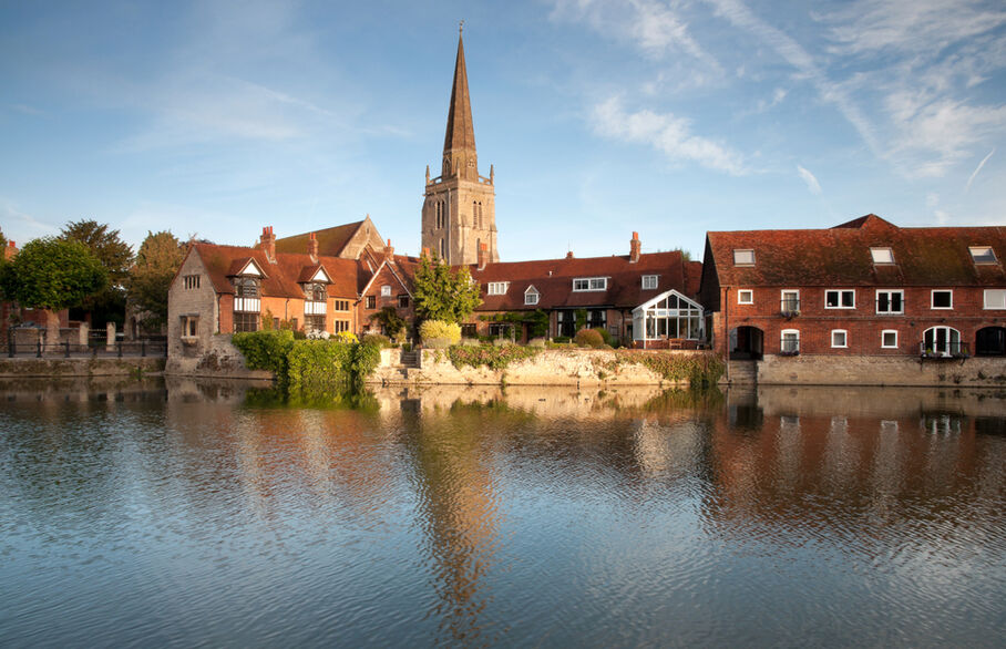
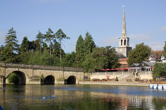
Oxford to Abingdon – (9 Miles)
The Thames Path between Oxford and Abingdon offers a gentle and scenic riverside walk that bridges urban parkland and peaceful countryside. This stretch is shorter, making it ideal for day-hikers. This route is suitable for walkers of all abilities and offers several opportunities for food, rest, and riverside picnics.
Abingdon to Wallingford – (13.5 Miles)
The section between Abingdon and Wallingford is a picturesque stretch weaving through historic villages, open countryside and quiet meadows. It feels distinctly rural for most of the route, with only occasional road crossings and several scenic points to stop. This section is ideal for walkers looking for a peaceful, full-day hike with plenty of natural beauty and some rewarding cultural stops along the way.
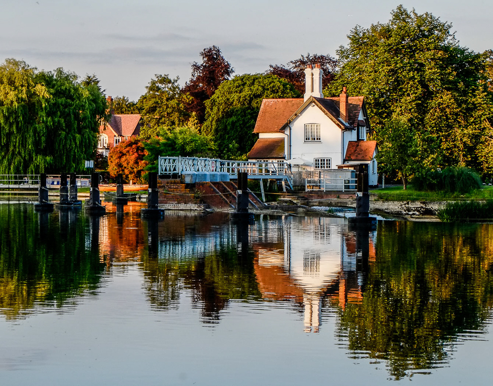
Wallingford to Goring – (10 Miles)
The walk between Wallingford and Goring is one of the Thames Path’s most scenic and rewarding stretches. This section brings together sweeping views of the river valley, wooded hills, ancient villages and peaceful farmland. As you approach the Goring Gap, the landscape begins to narrow between the Chilterns and North Wessex Downs, offering a stunning natural corridor carved by the Thames.
Goring to Reading – (10.5 Miles)
This stretch of the Thames Path follows the river as it continues through the Goring Gap, with wooded slopes rising on either side and the river winding between small villages and open countryside. The scenery becomes more varied as the route approaches the larger town of Reading, where the path rejoins a more urban environment.

Reading to Henley – (9.5 Miles)
This is one of the most popular stretches of the Thames Path, linking the bustling town of Reading with the riverside centre of Henley-on-Thames. The route is attractive and varied, passing weirs, locks, historic bridges and quiet Thames‐side countryside. It’s an ideal day walk and suitable for most abilities thanks to its flat terrain and good transport links at each end.
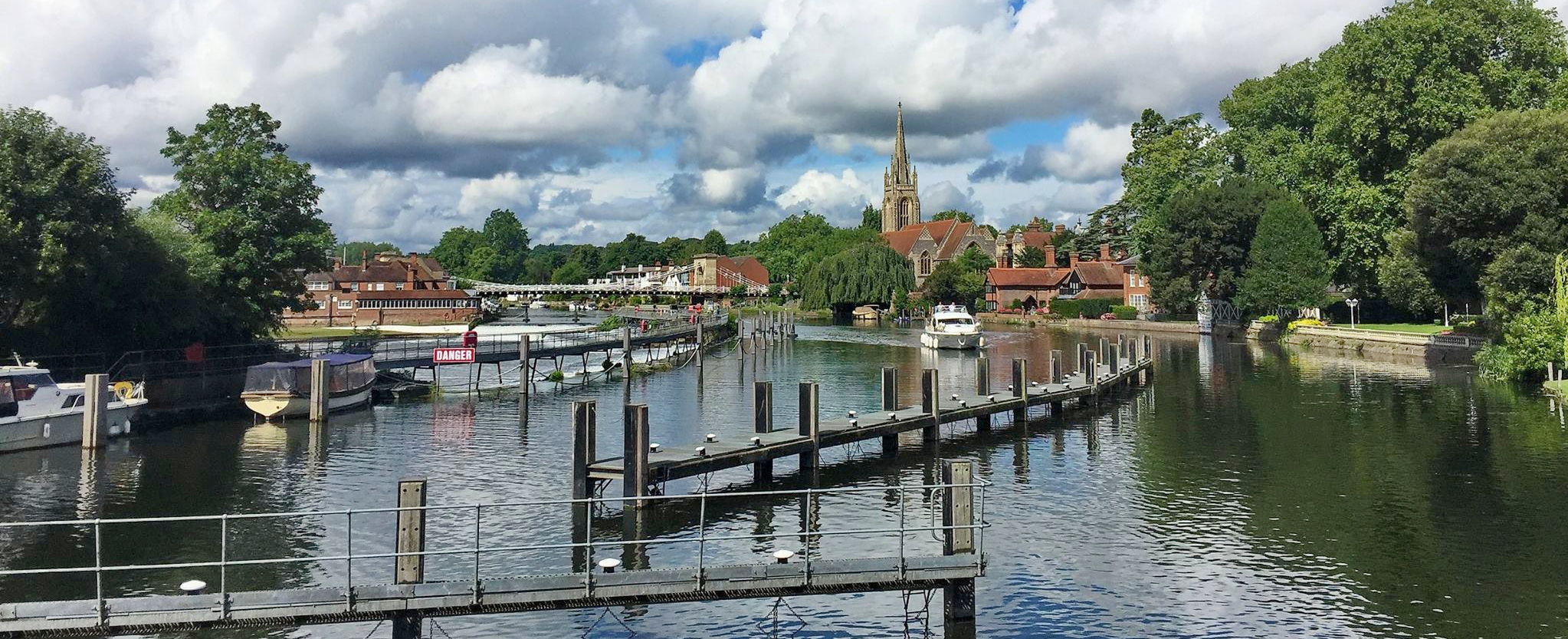
Henley to Marlow – (9 Miles)
One of the most scenic and quintessentially “English” sections of the Thames Path. Walking downstream from Henley-on-Thames to Marlow, you’ll enjoy riverside inns, wooden footbridges, meadows and postcard-perfect villages. It’s a gentle walk on mainly level paths, with excellent pubs en route and superb views across the Chiltern Hills.
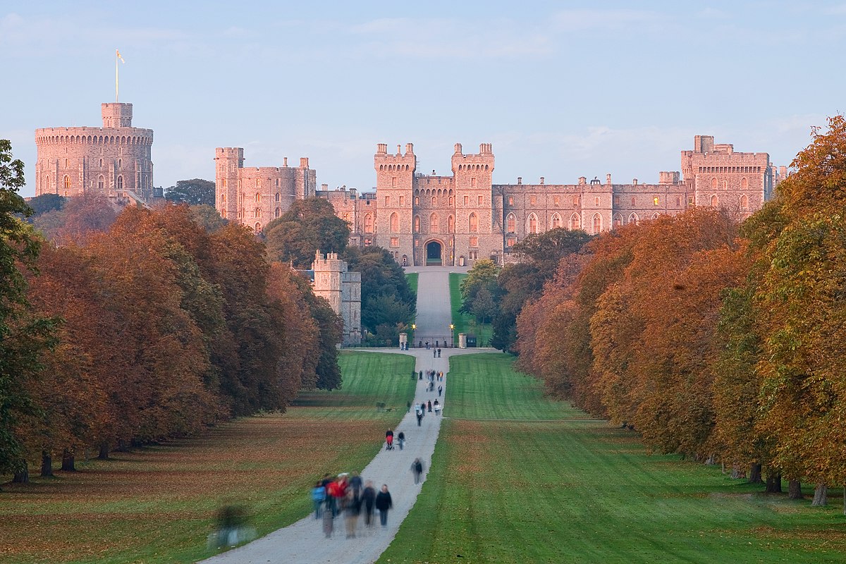
Marlow to Windsor – (14.3 Miles)
Walking from Marlow to Windsor takes you along one of the most iconic sections of the Thames Path. The route has a slightly more urban feel in places, passing through the riverside towns of Bourne End, Cookham and Maidenhead, before finishing with a memorable approach to the historic Windsor Castle.
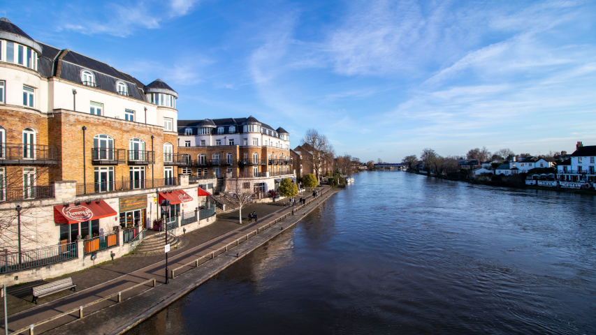
Windsor to Shepperton – (13.7 Miles)
From the grand setting of Windsor Castle and Home Park, the Thames Path meanders downstream past royal estates, reservoirs, racecourses, aircraft factories and quiet suburban villages. Although surrounded in places by major transport routes (railways, M25, Heathrow Airport), the river itself remains surprisingly peaceful. It’s a flat, easy stretch, with good transport connections at either end.

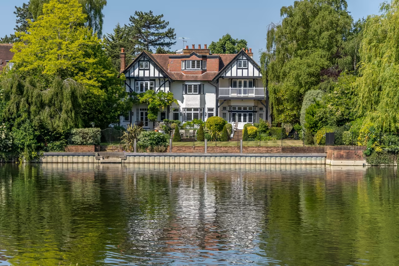
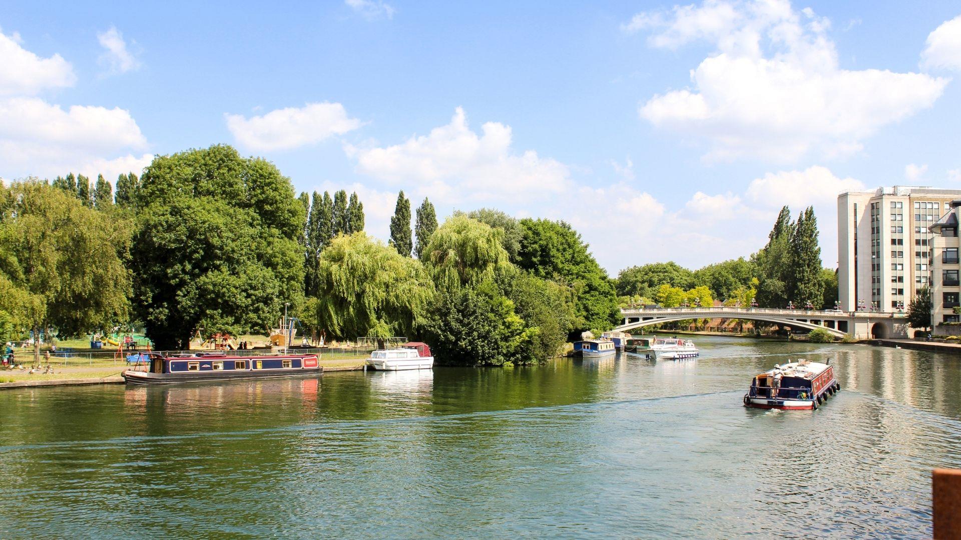
Shepperton to Richmond – (14 Miles)
This longer stage of the Thames Path follows the river past lock gates, leafy riverside parks, historic towns, and iconic landmarks, including Hampton Court Palace. It’s one of the most accessible sections from London, offering a mix of green spaces and vibrant riverside communities.
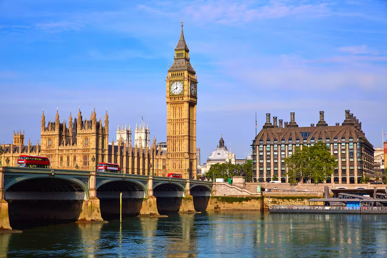
Richmond to Westminster – (12 Miles)
This stage of the Thames Path blends leafy riverside stretches with the gradual transition into the heart of London. Starting in Richmond, you’ll enjoy green open spaces and historic architecture before reaching the iconic sights of Westminster, including Big Ben and the Houses of Parliament.

Westminster to the Thames Barrier (11 Miles)
This final stage of the Thames Path takes walkers from the heart of London out to the iconic Thames Barrier just past Greenwich, passing world-famous landmarks, riverside parks, and historic docks along the way. It’s largely urban, flat, and well-signposted, offering a unique perspective on the river as it transitions from the city to the outer tidal stretches.