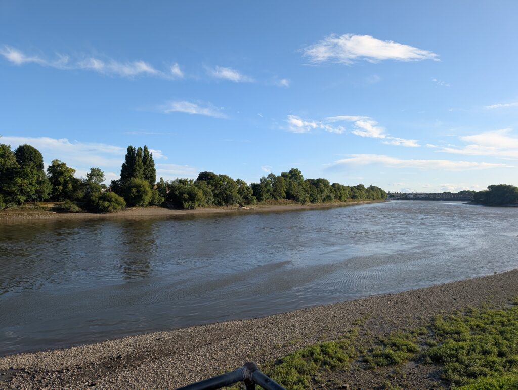
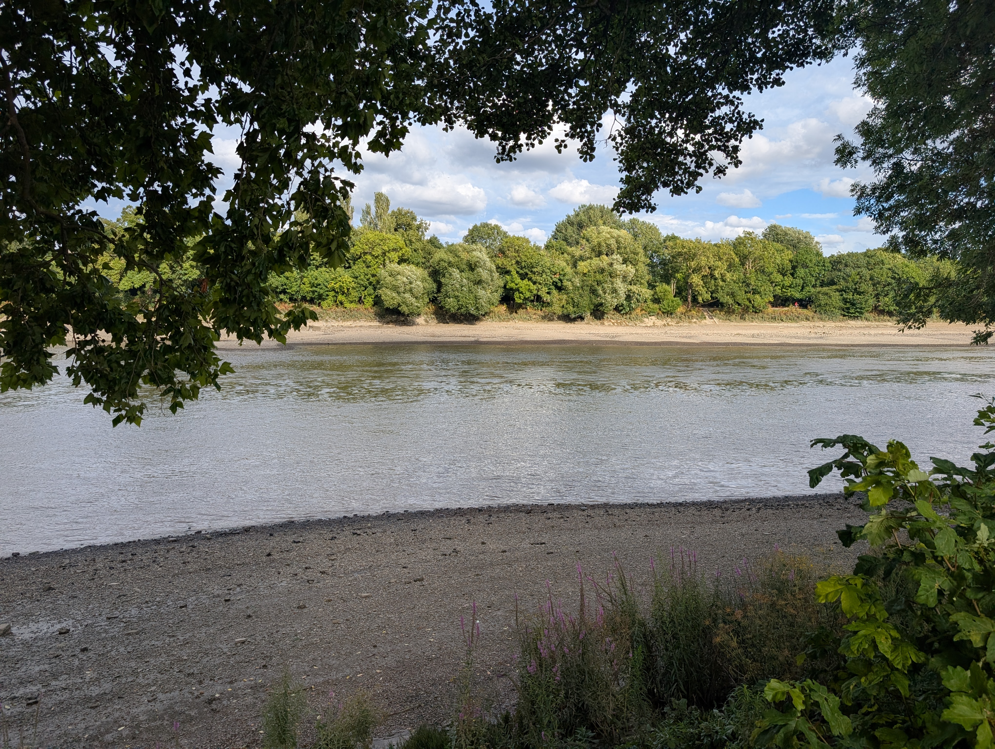
There’s something special about walking alongside a river, especially if that river happens to be the Thames. And if you’ve ever followed it for more than a few minutes, chances are you’ve been on part of the Thames Path National Trail, one of the most iconic long-distance walks in the UK.
But the Thames Path isn’t some ancient, pre-mapped Roman trail. It’s actually a relatively modern creation, even though it follows one of the oldest and most historically significant rivers in England. In this blog, we’ll be exploring the extensive history of this much-loved walking route.
The River That Came First
The River Thames has been central to British life for thousands of years. Long before roads and railways, it was the go-to route for trade, travel and communication, used by ancient Britons, Romans and Saxons throughout the ages.
Before powered boats, horses walked along the riverbank pulling barges by rope. These towpaths formed the backbone of what would later become the Thames Path, winding through countryside, villages and towns.
As the Industrial Revolution kicked off, the Thames became a working waterway, busy, loud, and not exactly a place for a relaxing stroll. However, with time, and the decline of river freight, it began to quiet down and became much more popular for recreational use.
Planning the Route
The first serious idea for a riverside trail came in 1947 from the Hobhouse Committee, which was looking at ways to protect the countryside and create access for the public. A year later, the National Parks and Access to the Countryside Act (1949) laid the groundwork for creating official long-distance walking routes, including one along the Thames.
But the Thames Path wasn’t a done deal. Not even close. It took decades of lobbying, planning, and negotiation to piece together a walkable route. Why? Because the river runs through farmland, private estates, industrial areas and the heart of London. This made it a logistical nightmare for any path builder.
By the 1980s, thanks to pressure from the Ramblers and the River Thames Society, momentum picked up. After years of planning and dealing with access rights, the route was approved in 1989. And finally, in July 1996, the Thames Path officially opened to the public.
Walking the Whole Thing
The full Thames Path National Trail is about 185 miles (298 km), starting from Thames Head in the Cotswolds and finishing at the Thames Barrier in East London. In 2022, it was extended slightly further to connect with the England Coast Path at the Woolwich Foot Tunnel, making the journey just a bit longer.
Along the way, you pass through places that read like a best-of-Britain itinerary: Oxford, Reading, Henley-on-Thames, Windsor, Richmond, and eventually central London. You’ll see quiet meadows, royal palaces, rowing clubs, nature reserves, and some of the UK’s most famous landmarks.
The route isn’t always straightforward, especially in London, where access issues mean you sometimes switch sides of the river or take a quick detour inland. That’s why we’ve put together comprehensive guides to the different sections of the Thames Path to help keep you on the right track.
Planning Your Walk
You don’t have to complete all 185 miles (though many people do). The beauty of the Thames Path is that it’s super flexible. You can do a one-hour riverside stroll around Richmond, a weekend hike from Oxford to Abingdon, or commit to the full route over a couple of weeks. Whatever your plans, we’ve put together helpful resources on accommodation and transport along the route to help you make the most out of your visit.